Strategy & Guidance
USAID Geospatial Strategy

USAID’s 2024-2028 Geospatial Strategy promotes leveraging the power of geospatial data and technology to target the delivery of international programs.

5 results
USAID’s 2024-2028 Geospatial Strategy promotes leveraging the power of geospatial data and technology to target the delivery of international programs.

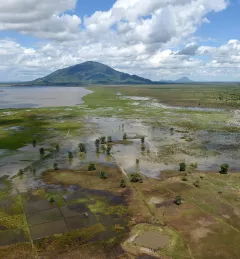
ClimateSERV is a web-accessible system that allows users to access, visualize, and analyze historical Earth observations useful to decision-making across multiple sectors.
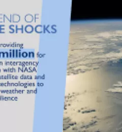
On January 30, 2024, Administrator Samantha Power announced new initiatives to accelerate and expand programs that contribute to the President’s Emergency Plan for Adaptation and Resilience (PREPARE), aimed at preparing communities and building their resilience to these perpetual and deadly climate “shocks.”

SERVIR will be at the American Geophysical Union conference in San Francisco, December 11 - 15, 2023. Please come and meet us at our talks and posters.
We partnered with ResilienceLinks to host a webinar highlighting how USAID and NASA are strengthening access to critical water data to promote climate resilience. Event date: Wednesday, May 22, 2024, 9:00AM - 10:15AM, GMT -4.