Strategy & Guidance
USAID Geospatial Strategy

USAID’s 2024-2028 Geospatial Strategy promotes leveraging the power of geospatial data and technology to target the delivery of international programs.

6 results
USAID’s 2024-2028 Geospatial Strategy promotes leveraging the power of geospatial data and technology to target the delivery of international programs.

SERVIR will be at the American Geophysical Union (AGU) fall conference December 11 - 15, 2023. We have compiled a list of SERVIR affiliated colleagues who will be presenting throughout the week. Please come and meet us at our talks and posters.
The Crop Type Mapping and Condition Assessment in Senegal service will develop tools for estimating crop yields and provide early warning of food insecurity throughout the sub-region using varied ecosystems in Senegal, which are representative of ecosystems found throughout West Africa.
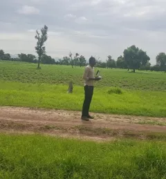
The primary objective of the P-Locust service is to enhance the monitoring and prevention efforts against locust population growth.
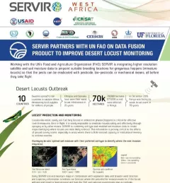
This fact sheet highlights how SERVIR is using satellite data to pinpoint breeding locations for locusts so that the pests can be eradicated before they take flight.
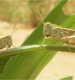
A single desert locust can consume its body weight in vegetation in one day. When 40 million of them gather, they can devour as much food as 35,000 people.