Articles & Stories
Landscape and Ecosystems Thematic Lead Interview -- Vishwas Chitale

Dr. Vishwas Chitale, Remote Sensing Analyst - Ecosystems for ICIMOD / SERVIR-HKH, is profiled.

127 results
Dr. Vishwas Chitale, Remote Sensing Analyst - Ecosystems for ICIMOD / SERVIR-HKH, is profiled.

Phoebe Oduor, Thematic Lead - Land Use, Land Cover and Greenhouse Gas (GHG) Inventories at RCMRD / SERVIR-E&SA, is profiled.

Africa Flores, Land Cover Land Use & Ecosystems Thematic Lead / SERVIR-Amazonia Science Coordination Lead for the NASA SERVIR Science Coordination Office, is profiled.
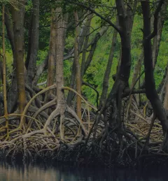
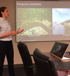
This workshop is the third in a series offered by SERVIR Amazonia focused on using remote sensing to monitor mangroves in Guyana.
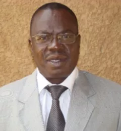
Issifou Alfari, Co-Chief of Party for AGRHYMET / SERVIR-West Africa, is profiled.
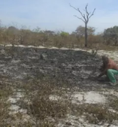
Firewood and charcoal provide more than 80 percent of energy used in sub-Saharan Africa, according to the World Agroforestry Centre, with only a small volume produced sustainably.
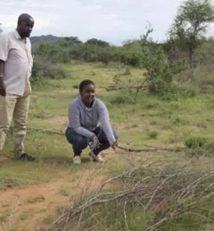
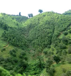
The extensive arid and semi-arid lands of northern Kenya are home to a variety of communities. Livelihoods are predominantly livestock based, with limited small-scale crop production. The productivity of the rangelands has been in decline, mainly due to poor management practices.

RCMRD’s Lilian Wangui, Food Security and Agriculture Lead, and Rose Waswa, Remote Sensing Technician, were interviewed on a Kenyan national TV channel on August 15.
This summer, Liza Goldberg, an intern at the NASA Goddard Biospheric Sciences Lab in Greenbelt, Maryland, spent seven days with the NASA SERVIR SCO to discuss potential uses of her mangrove monitoring tools with SERVIR scientists.
A new land cover tool originally developed for southeast Asia is now being expanded globally.