Blog
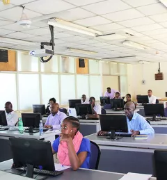
RCMRD/SERVIR-Eastern and Southern Africa water quality workshop
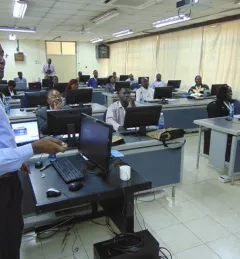
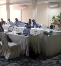
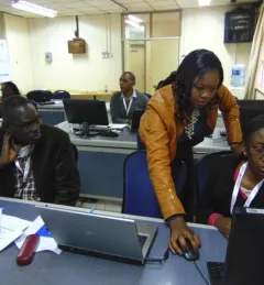
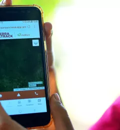
SERVIR E&SA gave a workshop to teach basic skills to work with satellite remote sensing data for water quality assessments in Lake Victoria.