Articles & Stories
Making Forecasts a Breeze
NASA supports local experts around the world to help their communities access and use weather and climate information.

23 results
NASA supports local experts around the world to help their communities access and use weather and climate information.
With support from organizations such as the Asian Disaster Preparedness Center, SERVIR scientists like Dr. Narendra Das of Michigan State University are working with our regional hubs and other stakeholders on models that will better predict crop yields in the face of climate change.
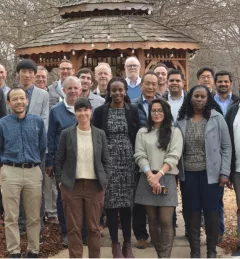
In February 2023, SERVIR officially welcomed its fourth Applied Sciences Team. For the next three years, they will support SERVIR’s efforts to deliver geospatial tools for communities in Asia, Africa, and Latin America.
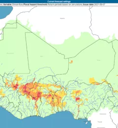
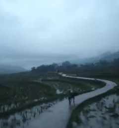
The Flash Flood Vulnerability Mapping service focuses on improving flash flood vulnerability mapping and early assessments of the potential socioeconomic impacts of anticipated floods.
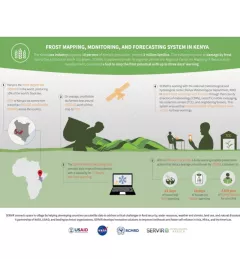
The Kenya tea industry supports 10 percent of Kenya's population, around 3 million families. The industry is prone to damage by frost due to the altitudes in which it is grown.
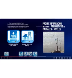
This video provides an overview of the GEOGloWS tool in Ecuador in English and Spanish. GEOGloWS are web applications for monitoring and forecasting hydrometeorological events using global models, satellite information, and observed data.
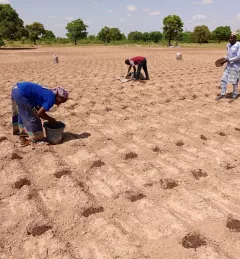
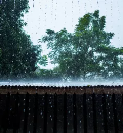
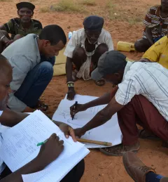
When irrigation isn't available, it's important to know when to expect rain. But with changes to our climate, farmers in West Africa can no longer count on a predictable weather. To mitigate this, SERVIR West Africa works with AGRHYMET to improve access to reliable weather and crop forecasts.
|Jacob Ramthun, SERVIR Science Coordination Office
The Climate Change Vulnerability, Impacts and Assessments Service assesses climate change impacts on vulnerable communities, water resources, and ecosystems in order to better address resilience building activities.
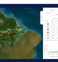
The Forecasting Seasonal to Sub-seasonal Fire and Agricultural Risk from Drought service provides information for evaluating drought conditions at temporal and spatial resolution to predict fire vulnerability in the Amazon basin.