Blog
SERVIR Team Member wins award

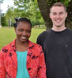
Eric Anderson, SERVIR Technical Point of Contact for the Himalaya region, has been chosen to receive the Conference of Southern Graduate Schools (CSGS) 2015 Master's Thesis Award in the category of Digital Scholarship.