Articles & Stories
SERVIR-Mekong adds key tools for environmental monitoring
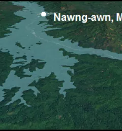
Recently, the SERVIR-Mekong team added three new tools to aid in the environmental monitoring of the Mekong River Basin.

32 results
Recently, the SERVIR-Mekong team added three new tools to aid in the environmental monitoring of the Mekong River Basin.
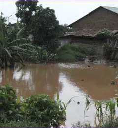
Like many rivers across the world, the Nzoia River in western Kenya pushes over its banks each year. In recent years, to protect lives and property in Kenya, SERVIR-Eastern & Southern Africa (E&SA) at the Regional Center for Mapping of Resources for Development (RCMRD) has provided high-accuracy flood level scenario maps to the World Bank to guide their flood protection dike repairs in the region.
The Mekong River Commission (MRC) is an intergovernmental organization that provides coordination and technical input on flood management to the members of the Lower Mekong countries including Cambodia, Lao PDR, Thailand, and Vietnam.
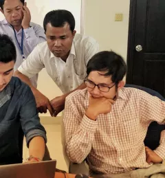
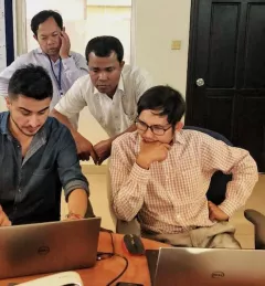
Through USAID's SERVIR-Mekong grants program, in partnership with NASA, the Asian Institute of Technology (AIT) arranged a regional training workshop to estimate future flood exposure by combining scenarios for urban growth with flood models.
SERVIR improves capacity to create and utilize innovative tools, products and services to better manage today's complex development and environment challenges.
This flood monitoring service utilizes Google Earth Engine and the available LandSAT and SENTINEL data collections, spanning from 2014 to the present date, to determine water surface areas within specific date ranges.
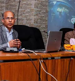
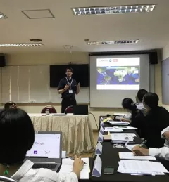
To ensure effective preparation for any upcoming floods in 2019, the Bangladesh Water Development Board (BWDB), Flood Forecasting and Warning Centre (FFWC), with support from the International Centre for Integrated Mountain Development (ICIMOD), held a stakeholder consultation workshop in Dhaka on 5 March 2019.
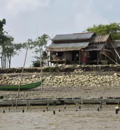
Changes in river morphology including floods, erosion, and landslides are affecting ecosystem habitats and the lives and livelihoods of communities living along Myanmar's rivers. SERVIR-Mekong is using satellite-based monitoring tools to support Myanmar agencies and communities to manage the risks better.
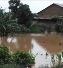
Lower Mekong countries suffer from the effects of seasonal flooding and flash flooding caused by monsoon rains and tropical storms. Regional and national level organizations and agencies require a range of information, forecasts, and decision-support tools to better prepare for, monitor, issue warnings, and respond to flood risk.
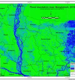
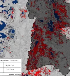
In view of the recent flooding events in South Asia, ICIMOD has prepared flood inundation maps by analysing freely available satellite imagery. These maps provide a synoptic overview of the extent of the inundation caused by the floods and can aid disaster management agencies in prioritizing relief and rescue activities in flood-affected areas.