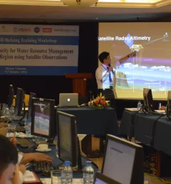
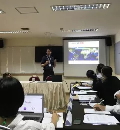
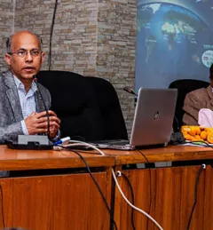
Blog
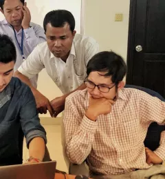
SERVIR "SWAAT" team helping water resource managers in Africa
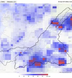
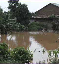
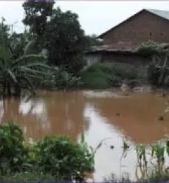
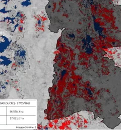
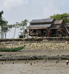
With floods and droughts as two of the most catastrophic natural disasters in the regions it serves, SERVIR strives to be on the cutting edge in addressing challenges related to water.