Articles & Stories
Cambodian Youth Learn and Connect Geospatial Pieces
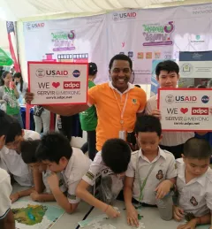
For a second year, the SERVIR-Mekong program held an exhibition booth as part of the U.S. Government pavilion at Cambodia’s Science and Engineering Festival Exposition and Workshop (CSEF).