Blog
SERVIR Launches New Gender Analysis Tool
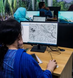
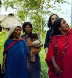
The SERVIR Gender Analysis Tool supports the SERVIR network in the successful inclusion of women as co-developers in the design of services.

23 results
The SERVIR Gender Analysis Tool supports the SERVIR network in the successful inclusion of women as co-developers in the design of services.
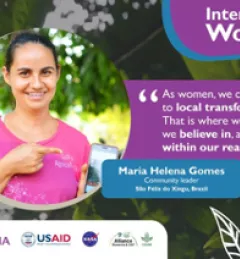
The SERVIR regional hubs around the world celebrated International Women's Day on March 8, 2023. In case you missed the events, tweets, and other posts, here is a round up of highlights.
These training materials provide an introduction to the Ensemble Framework for Flash Flood Forecasting (EF5) system developed by the SERVIR Applied Sciences Team.
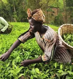
Women play a pivotal role in agricultural production. Worldwide, women represent 43 percent of the agricultural labor force; in Kenya, that number is between 42 and 65 percent.
|Janet Nackoney, Land and Resource Governance Officer, USAID and Dorah Nesoba, Public Relations and Communication Officer, RCMRD
This Gender Analysis Tool provides clear guidance on a foundational step for service design and programming, to contribute to SERVIR’s goals of ensuring that women, along with men, are realizing equal benefits from SERVIR’s geospatial services.
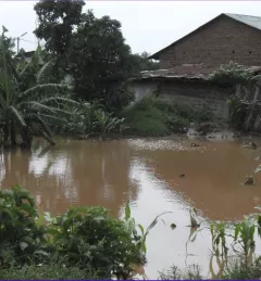
Across the globe, disasters and their impacts have been on the rise. Developing countries are especially vulnerable to risks from natural hazards such as floods, landslides, and droughts. SERVIR-Eastern and Southern Africa is helping such countries in their region leverage geospatial technologies to reduce disaster risk and enhance regional capacity in disaster management.
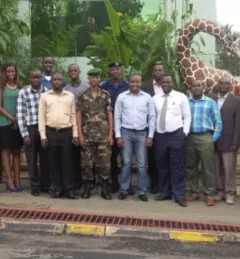
Some new international guests were seen around the SERVIR coordination office in Huntsville, Alabama, in early June 2015.
|Rachel Gaal, technical writing intern for SERVIR
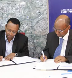
On January 18, 2017, the Regional Centre for Mapping of Resources for Development (RCMRD) and the Intergovernmental Authority on Development (IGAD) Climate Predication and Applications Centre (ICPAC) signed a groundbreaking Memorandum of Understanding.

Like many rivers across the world, the Nzoia River in western Kenya pushes over its banks each year. In recent years, to protect lives and property in Kenya, SERVIR-Eastern & Southern Africa (E&SA) at the Regional Center for Mapping of Resources for Development (RCMRD) has provided high-accuracy flood level scenario maps to the World Bank to guide their flood protection dike repairs in the region.
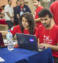
SERVIR hubs joined over 185 other locations in 69 countries across the globe in hosting the 2017 NASA International Space Apps Challenge.