Fact Sheet
Fact Sheet: Desert Locust Monitoring
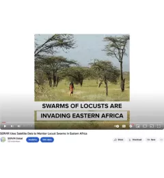
SERVIR partners with UN FAO on data fusion product to improve desert locust monitoring
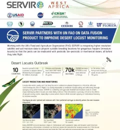
This fact sheet highlights how SERVIR is using satellite data to pinpoint breeding locations for locusts so that the pests can be eradicated before they take flight.