Video
Video: Using Satellite Data to Monitor Locust Swarms in Eastern Africa
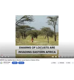
SERVIR Global is using NASA satellites to guide USAID and FAO resources on the ground to fight locusts in east Africa.

17 results
SERVIR Global is using NASA satellites to guide USAID and FAO resources on the ground to fight locusts in east Africa.
The ability to transform data into actionable information and obtain easily accessible, analysis-ready Earth observation (EO) data is often a critical missing link for decision makers in the developing world.
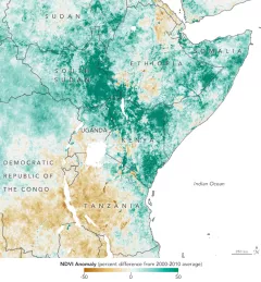
A single desert locust can consume its body weight in vegetation in one day. When 40 million of them gather, they can devour as much food as 35,000 people.

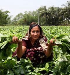
Women play a pivotal role in agricultural production. Worldwide, women represent 43 percent of the agricultural labor force; in Kenya, that number is between 42 and 65 percent.
|Janet Nackoney, Land and Resource Governance Officer, USAID and Dorah Nesoba, Public Relations and Communication Officer, RCMRD
Bangladesh is a densely populated country where most people live in rural areas, and land management is critical to their well-being.
|Kabir Uddin, SERVIR Hindu Kush Himalaya
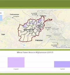
Wheat is one of Afghanistan's largest agricultural products, yet current production levels fail to meet increasing demand, and wheat remains one of the nation's biggest imports.
|Megan Kirchner, Communications Intern for the NASA SERVIR Science Coordination Office
The Crop Type Mapping and Condition Assessment in Senegal service will develop tools for estimating crop yields and provide early warning of food insecurity throughout the sub-region using varied ecosystems in Senegal, which are representative of ecosystems found throughout West Africa.