Infographic
SERVIR's Service Approach

SERIR uses a "service" approach to identifying and addressing climate challenges.

10 results
SERIR uses a "service" approach to identifying and addressing climate challenges.
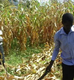
Kenya’s Ministry of Agriculture is collaborating with USAID and NASA to use satellite tools that expand their understanding of the climate-related challenges that farmers are facing.
|Lena Pransky and Jacob Ramthun, NASA Science Coordination Office

USAID’s 2024-2028 Geospatial Strategy promotes leveraging the power of geospatial data and technology to target the delivery of international programs.

The end of one year and the start of the next provides an opportunity to reflect on past achievements and future goals. In 2023, the SERVIR network worked with local partners in the design and implementation of numerous geospatial services to address complex challenges related to climate change.
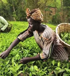
Women play a pivotal role in agricultural production. Worldwide, women represent 43 percent of the agricultural labor force; in Kenya, that number is between 42 and 65 percent.
|Janet Nackoney, Land and Resource Governance Officer, USAID and Dorah Nesoba, Public Relations and Communication Officer, RCMRD
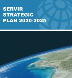
This strategic plan identifies the next set of cross-cutting strategic priorities that will ensure SERVIR remains responsive to both NASA and USAID Agency goals and those of stakeholders and users in SERVIR regions.
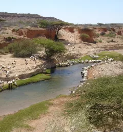
The Rangeland Assessment and Monitoring Service facilitates the near real-time assessment and monitoring of rangeland resources by developing a web-based tool to aggregate key indicators of rangeland productivity.

Meet Lilian Ndungu, Agriculture and Food Security Thematic Lead for RCMRD/SERVIR-Eastern and Southern Africa.

SERVIR improves local and regional capacity to provide tools, products, and services that empower decision makers to better address critical issues related to food security, water resources, natural disasters, land use, and extreme weather. Building on thirteen years of experience, SERVIR has grown in its geographical reach and has adapted its approach based on lessons learned.
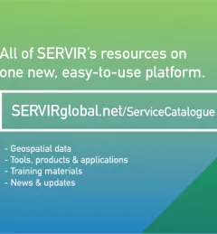
The newly-launched SERVIR Service Catalogue is improving access to geospatial services to inform decision making and improve resilience in critical areas like food security, water management, disaster resilience, and sustainable land and ecosystem management.