Articles & Stories
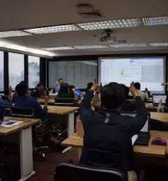
Driving Innovation to Solve Real-World Problems
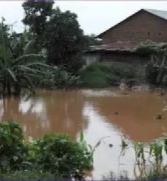
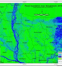
SERVIR improves capacity to create and utilize innovative tools, products and services to better manage today's complex development and environment challenges.