Fact Sheet
Factsheet: Mekong Regional Land Cover Monitoring System (RLCMS)
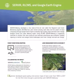
SERVIR, RLCMS, and Google Earth Engine

181 results
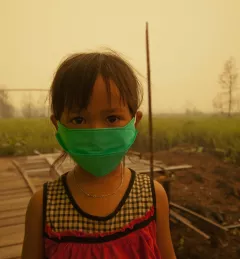
Air Quality Monitoring for Sustainable Landscapes and Better Human Health aims to reduce greenhouse gas emissions, improve climate resilience and promote better human health by using air quality data for informing and regulating the management of agricultural burning.
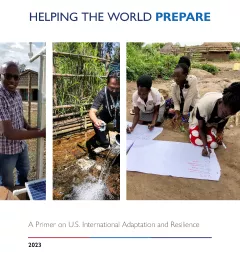
Through SERVIR, USAID and NASA play a key role in supporting the President’s Emergency Plan for Adaptation and Resilience (PREPARE). Our work was recently highlighted in the new White House publication “Helping the World PREPARE: A Primer on U.S. International Adaptation and Resilience.”
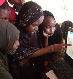
In this miniseries, we explore why gender matters in applied Earth science, and how we can integrate gender more intentionally into geospatial work.
|Lena Pransky, Diana Kurkovsky West, and Emily Adams | NASA Science Coordination Office
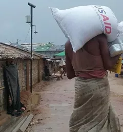
Community-based Flood Early Warning Systems (CBFEWS) demonstrate the power of demand-driven climate adaptation and its ability to deliver real impacts that save lives and protect livelihoods.
|Erica Kriner, Dorah Nesoba
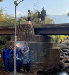
Enhancing Anticipatory Actions for Disaster and Climate Resilience aims to reduce the loss of lives and damage to properties and crops from floods and droughts by improving early warnings using satellite data and geospatial information.
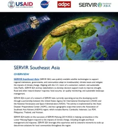
This fact sheet outlines how the SERVIR Southeast Asia (SEA) Regional Hub uses publicly available satellite technologies to support regional institutions, governments, and communities adapt to transboundary climate issues and mitigate the impacts of climate change.

USAID’s 2024-2028 Geospatial Strategy promotes leveraging the power of geospatial data and technology to target the delivery of international programs.
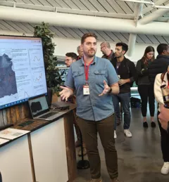
At Google’s Geo for Good (G4G) Summit 2023 in Mountain View, California, SERVIR scientists explained how and its collaborators are using artificial intelligence (AI) get more out of Earth data.
| Jake Ramthun, Biplov Bhandari, and Tim Mayer, NASA Science Coordination Office
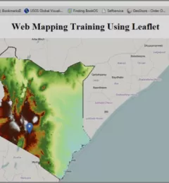
The Web has changed every aspect of our lives, from daily events to professional undertakings such as work related activities. Geographic Information Systems (GIS) – tools that enable us to manipulate the geographic aspects of data – have also been affected by web technology.
|Patrick Kabatha, RCMRD/SERVIR