Articles & Stories
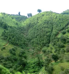
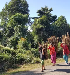
Mapping Charcoal Production to Protect Land in Ghana
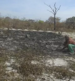
Firewood and charcoal provide more than 80 percent of energy used in sub-Saharan Africa, according to the World Agroforestry Centre, with only a small volume produced sustainably.