Articles & Stories SERVIR-Mekong adds key tools for environmental monitoring 
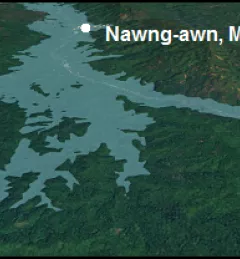
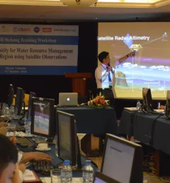
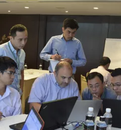
Recently, the SERVIR-Mekong team added three new tools to aid in the environmental monitoring of the Mekong River Basin. November 4, 2016
Blog Supporting Water Management in the Lower Mekong with Satellites Densely populated communities living along low-lying deltas in Southeast Asia are dependent on the underground water stores these deltas provide for their livelihoods. Read about recent SERVIR activities toward helping this region use NASA's publicly available satellite data to support decision making on water resources issues. October 24, 2016
Blog Monitoring Land Cover for Resilient Development SERVIR-Mekong, along with SilvaCarbon, the US Forest Service and SIG, hosted a Google Earth Engine Training and a second workshop for the Regional Land Cover Monitoring System from 7-14 July 2016. August 16, 2016
Blog SERVIR small scale applications and small grants promise large impact Working in developing countries around the world, SERVIR seeks to incorporate regional knowledge and perspectives to best meet end user needs in addressing issues such as flood forecasting, forest fire management, landslide hazard, agricultural monitoring, and biomass estimation. July 22, 2015
Blog Bangladesh announces nation-wide expansion of SERVIR satellite-based flood forecasting and warning system At the Annual Fall Meeting of the American Geophysical Union (AGU), held 15-19 December 2014 in San Francisco, officials from Bangladesh made a big announcement. They are expanding use of a satellite-based flood forecasting and warning system developed by SERVIR. January 23, 2015