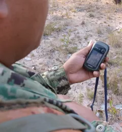
Strategy & Guidance USAID Geospatial Strategy USAID’s 2024-2028 Geospatial Strategy promotes leveraging the power of geospatial data and technology to target the delivery of international programs. November 15, 2023
Use Case Use Case: Greening Prey Lang Greening Prey Lang, a USAID program, used Collect Earth Online (CEO) as part of their efforts to protect critical forestland in Cambodia and improve the lives of the people who live there. February 17, 2022
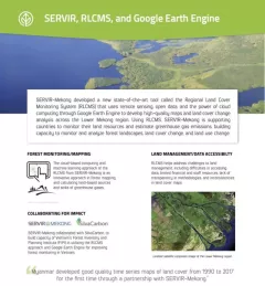
Fact Sheet Factsheet: Mekong Regional Land Cover Monitoring System (RLCMS) SERVIR, RLCMS, and Google Earth Engine December 13, 2020
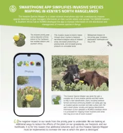
Infographic Kenya Invasive Species Mapper Smartphone app simplified invasive species mapping in Kenya's north rangelands The Invasive Species Mapper is a citizen-science smartphone app that crowdsources invasive species detection to give managers information on their current extent and spread.