Articles & Stories
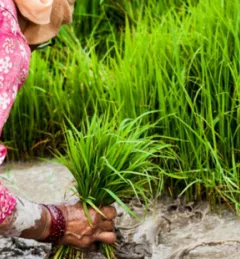
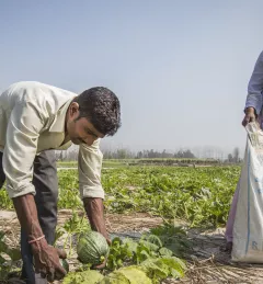
Seasonal water outlook and implications for farmers in the Indus basin
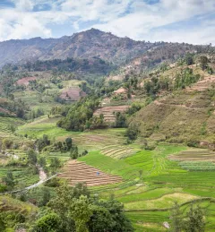
The cryosphere — snow, ice, and permafrost — is an important source of water in the Hindu Kush Himalaya.
|Faisal M. Qamer and Sher Muhammad, SERVIR HKH/ICIMOD


![SHUKLA_Shrad_photo[1].jpeg](/sites/default/files/styles/card_flag/public/article/image/SERVIR-HKH_thematic_illustration.jpg.webp?itok=isSkllDk)