Infographic
SERVIR's Service Approach

SERIR uses a "service" approach to identifying and addressing climate challenges.

9 results
SERIR uses a "service" approach to identifying and addressing climate challenges.

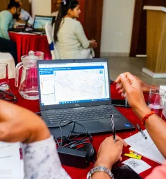
ClimateSERV is a web-accessible system that allows users to access, visualize, and analyze historical Earth observations useful to decision-making across multiple sectors.
As part of this service, SERVIR HKH, with the technical support of Brigham Young University developed a streamflow prediction tool that incorporates all primary and secondary rivers in the HKH region
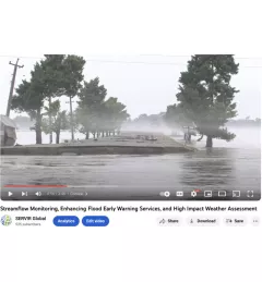
The Monitoring Extreme Weather in the Hindu Kush Himalaya (HKH) service provides a customized numerical weather prediction toolkit to assess high impact convective weather events over the HKH region.

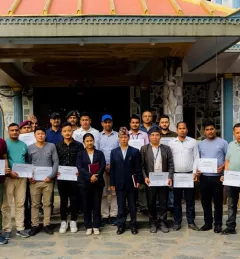
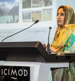
SERVIR improves local and regional capacity to provide tools, products, and services that empower decision makers to better address critical issues related to food security, water resources, natural disasters, land use, and extreme weather. Building on thirteen years of experience, SERVIR has grown in its geographical reach and has adapted its approach based on lessons learned.
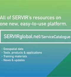
The newly-launched SERVIR Service Catalogue is improving access to geospatial services to inform decision making and improve resilience in critical areas like food security, water management, disaster resilience, and sustainable land and ecosystem management.
The Hindu Kush Himalayan (HKH) region is no stranger to water- and weather-induced hazards. Every year, these disasters result in loss of lives, livelihoods, and damage to infrastructure throughout HKH countries.
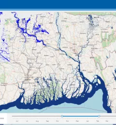
Floods are a recurring event in the HKH region that often have disastrous consequences. To help better understand these events, SERVIR HKH developed the Flood Inundation Mapping Tool, a cloud-based system developed to map flood areas in Bhutan, Bangladesh, Nepal, and the northeast part of India.