Articles & Stories
Telling the Story of Changing Land Cover in Namibia
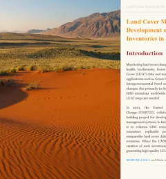
Susan Malaso Kotikot, a Graduate Research Assistant with SERVIR, has created an interactive publication to describe and explain land cover changes that took place in Namibia between 2000 and 2010.