Infographic
SERVIR's Service Approach

SERIR uses a "service" approach to identifying and addressing climate challenges.

9 results
SERIR uses a "service" approach to identifying and addressing climate challenges.
The Crop Type Mapping and Condition Assessment in Senegal service will develop tools for estimating crop yields and provide early warning of food insecurity throughout the sub-region using varied ecosystems in Senegal, which are representative of ecosystems found throughout West Africa.
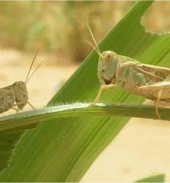
The primary objective of the P-Locust service is to enhance the monitoring and prevention efforts against locust population growth.
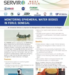
The Monitoring Ephemeral Water Bodies in Ferlo, Senegal Service is a web-based platform for assessing water availability in all known ponds, thus facilitating water management in arid areas such as the Ferlo Region of Senegal.
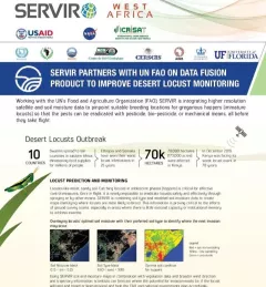
This fact sheet highlights how SERVIR is using satellite data to pinpoint breeding locations for locusts so that the pests can be eradicated before they take flight.
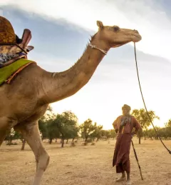
This fact sheet describes how SERVIR West Africa works with local stakeholders to strengthen the resilience of pastoral systems in Senegal.

SERVIR improves local and regional capacity to provide tools, products, and services that empower decision makers to better address critical issues related to food security, water resources, natural disasters, land use, and extreme weather. Building on thirteen years of experience, SERVIR has grown in its geographical reach and has adapted its approach based on lessons learned.
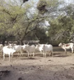
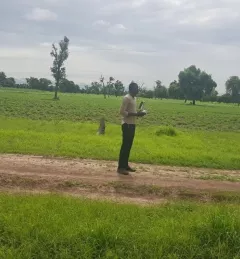
The Ferlo region of north-central Senegal is a vast expanse of dry savannah covering over a third of the country's total area. For pastorlists, this makes finding water an annual challenge.
The newly-launched SERVIR Service Catalogue is improving access to geospatial services to inform decision making and improve resilience in critical areas like food security, water management, disaster resilience, and sustainable land and ecosystem management.