Articles & Stories
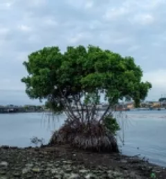
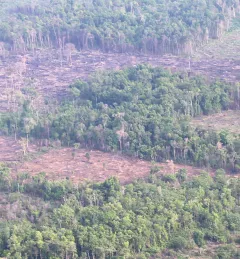
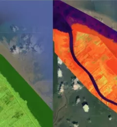
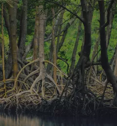
Protecting Guyana's Mangroves and Communities with NASA Satellites
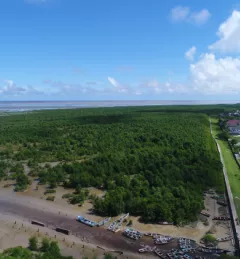
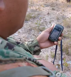
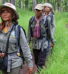
SERVIR is helping protect biodiversity and human lives in Guyana by working with communities to keep a watchful eye on the health of coastal mangrove forests.