Articles & Stories
Surf and Turf: Studying Land to Help Protect Reefs
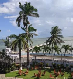
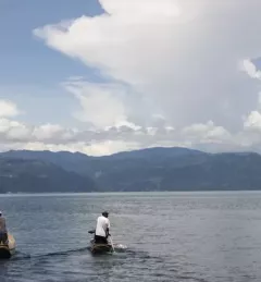
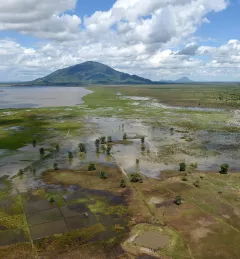
As farmland increases in Belize, more and more sediment and agricultural runoff is making its way into the country's rivers and eventually into the sea — where it reaches the Belize Barrier Reef.