Articles & Stories
Making Forecasts a Breeze

NASA supports local experts around the world to help their communities access and use weather and climate information.

7 results
NASA supports local experts around the world to help their communities access and use weather and climate information.
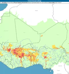
The Flash Flood Vulnerability Mapping service focuses on improving flash flood vulnerability mapping and early assessments of the potential socioeconomic impacts of anticipated floods.
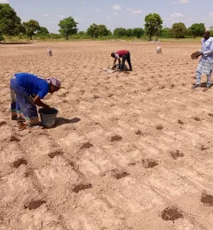
When irrigation isn't available, it's important to know when to expect rain. But with changes to our climate, farmers in West Africa can no longer count on a predictable weather. To mitigate this, SERVIR West Africa works with AGRHYMET to improve access to reliable weather and crop forecasts.
|Jacob Ramthun, SERVIR Science Coordination Office
Disaster preparedness and the water resource management require reliable and timely information. In many regions of the world, ground observation data is scarce. Here are three ways that SERVIR's innovative services and tools enable decision-makers and authorities to address water challenges.
|Chinmay Deval, NASA SCO Water Security Lead
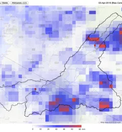
With floods and droughts as two of the most catastrophic natural disasters in the regions it serves, SERVIR strives to be on the cutting edge in addressing challenges related to water.
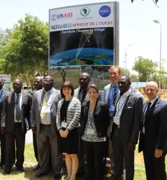
On July 14, 2016, NASA and the U.S. Agency for International Development (USAID) launched SERVIR-West Africa, a joint project to strengthen environmental monitoring in West Africa.
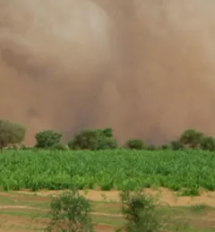
This service focuses on the production of seasonal crop-related weather forecasts for improving the quality of products disseminated to end users such as farmers.