Articles & Stories
Making Forecasts a Breeze

NASA supports local experts around the world to help their communities access and use weather and climate information.

47 results
NASA supports local experts around the world to help their communities access and use weather and climate information.
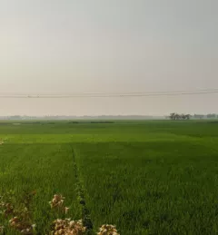
SERVIR-HKH has been helping the FFWC/BWDB build forecasting capabilities through the enhanced use of Earth observation and geospatial information technology.
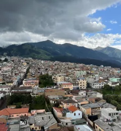
SERVIR's Dr. Jim Nelson and Jorge Luis Sánchez, both of Brigham Young University (BYU), are helping government agencies in South America develop web tools for meteorology and hydrology forecasts.
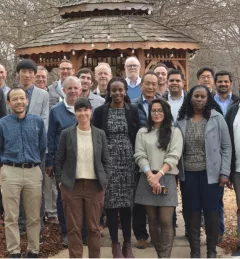
In February 2023, SERVIR officially welcomed its fourth Applied Sciences Team. For the next three years, they will support SERVIR’s efforts to deliver geospatial tools for communities in Asia, Africa, and Latin America.
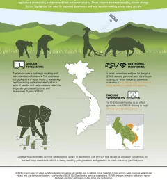
This service focuses on the production of seasonal crop-related weather forecasts for improving the quality of products disseminated to end users such as farmers.
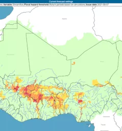
The Flash Flood Vulnerability Mapping service focuses on improving flash flood vulnerability mapping and early assessments of the potential socioeconomic impacts of anticipated floods.
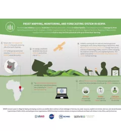
The Kenya tea industry supports 10 percent of Kenya's population, around 3 million families. The industry is prone to damage by frost due to the altitudes in which it is grown.
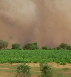
Droughts in the Lower Mekong region cause significant environmental and economic impacts, including loss in agricultural productivity and decreased food and water security.

SERIR uses a "service" approach to identifying and addressing climate challenges.
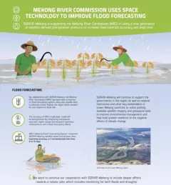
SERVIR-Mekong is supporting the Mekong River Commission (MRC) in using a new generation of satellite-derived precipitation products to increase flood forecast accuracy and lead time.