Articles & Stories
Geospatial services for climate-smart environmental decision-making in the Brazilian Amazon
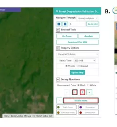
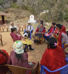
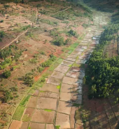
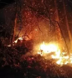
In line with its service co-development approach, SERVIR-Amazonia is bringing diverse Brazilian stakeholders together to identify local development problems and identify solutions in form of tools, data sets, training resources and capacity building activities that use satellite data, Earth science, and geospatial technologies.