Articles & Stories
SERVIR at COP26: Collaborating for Climate Action
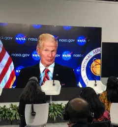
SERVIR joined the 26th UN Climate Change Conference of the Parties (COP26) in Glasgow to highlight work that betters both scientific understanding and human well-being.