Articles & Stories
Making Forecasts a Breeze

NASA supports local experts around the world to help their communities access and use weather and climate information.

21 results
NASA supports local experts around the world to help their communities access and use weather and climate information.
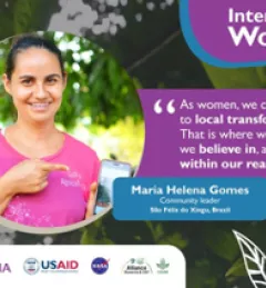
The SERVIR regional hubs around the world celebrated International Women's Day on March 8, 2023. In case you missed the events, tweets, and other posts, here is a round up of highlights.
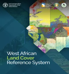
This service is the outcome of a discussion held during the 2018 West Africa Regional Conference on Land Cover Land Use, at which SERVIR West Africa established the West Africa Land Cover Task Force.
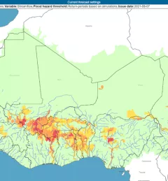
The Flash Flood Vulnerability Mapping service focuses on improving flash flood vulnerability mapping and early assessments of the potential socioeconomic impacts of anticipated floods.
This service addresses the need for reliable data for monitoring and reporting on the Sustainable Development Goals (SDGs) in Africa, to inform decisions and investments at national

USAID’s 2024-2028 Geospatial Strategy promotes leveraging the power of geospatial data and technology to target the delivery of international programs.
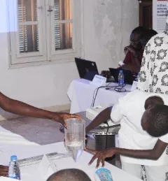
SERVIR West Africa created youth clubs to provide an inclusive space where all students, especially girls, can explore and gain skills in Science, Technology, Engineering, and Mathematics (STEM) and gain exposure to environmental monitoring tools such as geographic information systems, remote sensing, and other digital technologies.
|Thioro Codou Niang, SERVIR West Africa and Lena Pransky, Science Coordination Office
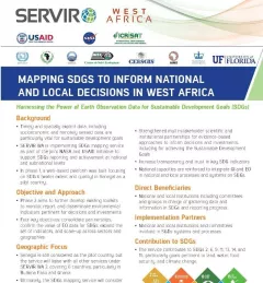
This fact sheet highlights the service, Building a Platform to Track Progress on SDGs and Inform Decisions in Senegal.
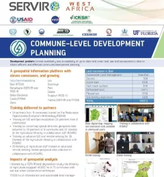
This fact sheet highlights how SERVIR West Africa is supporting sustainable management in Burkina Faso through commune-level development planning.

ClimateSERV is a web-accessible system that allows users to access, visualize, and analyze historical Earth observations useful to decision-making across multiple sectors.